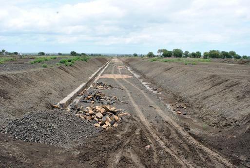
SSIG Geospatial World Pvt. Ltd. is a trusted consulting partner for all its clients, offering a comprehensive range of services, from training to survey, data conversion, data maintenance, data analysis, and GIS implementation. SSIG Geospatial World has provided diverse and tailored solutions to both government and private sector clients, specializing in RTK GPS/DGPS and Total Station surveys, utility mapping, urban mapping for master plans and change detection studies, satellite image processing for vegetation assessment in agriculture and forestry, watershed management studies, and skill enhancement training programs for the corporate and education sectors.
Survey Services
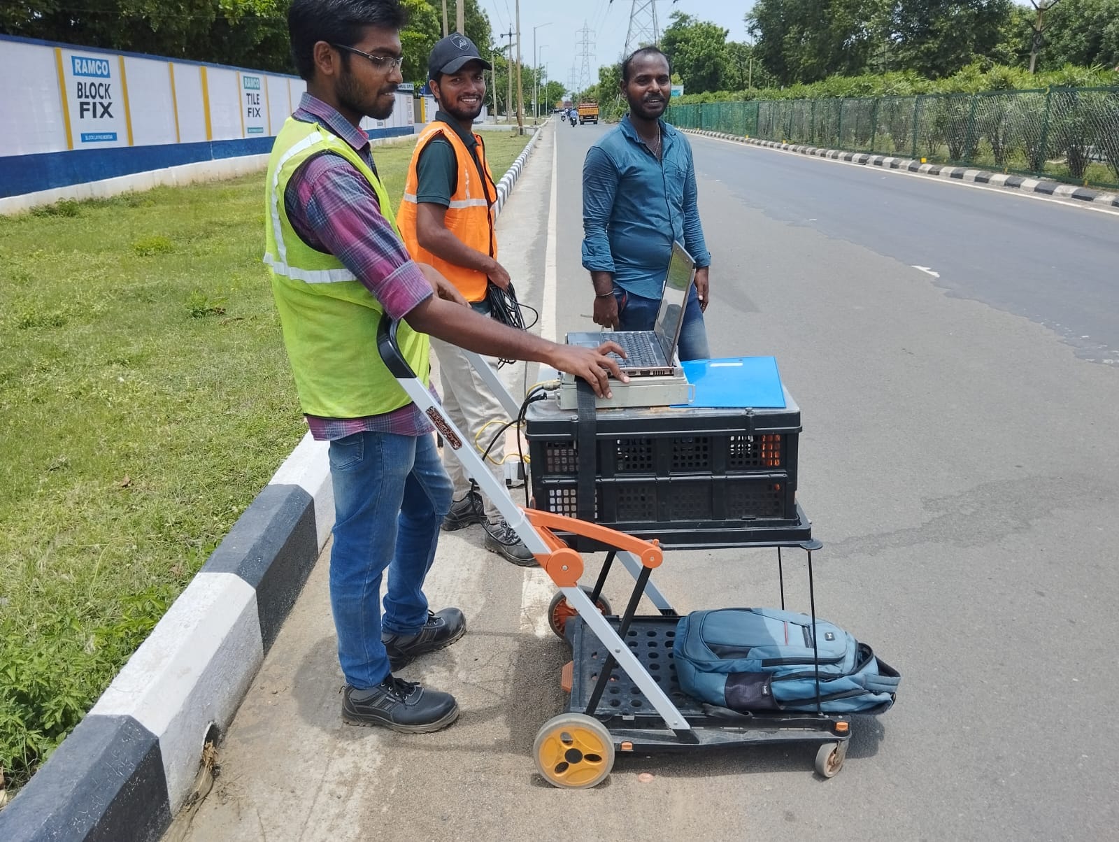
Survey Services
The resources that we provide are:
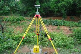
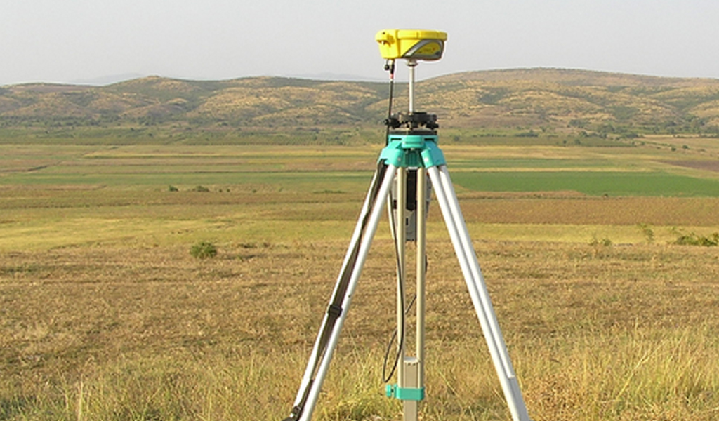
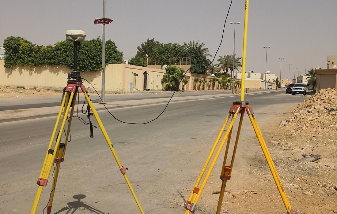
- GPS
- Surveying Equipment
- Surveying Stations
- Data Collection
The industries that we serve are:
- Energy
- Public works
- Infrastructure
- Military
- Government
- Geospatial
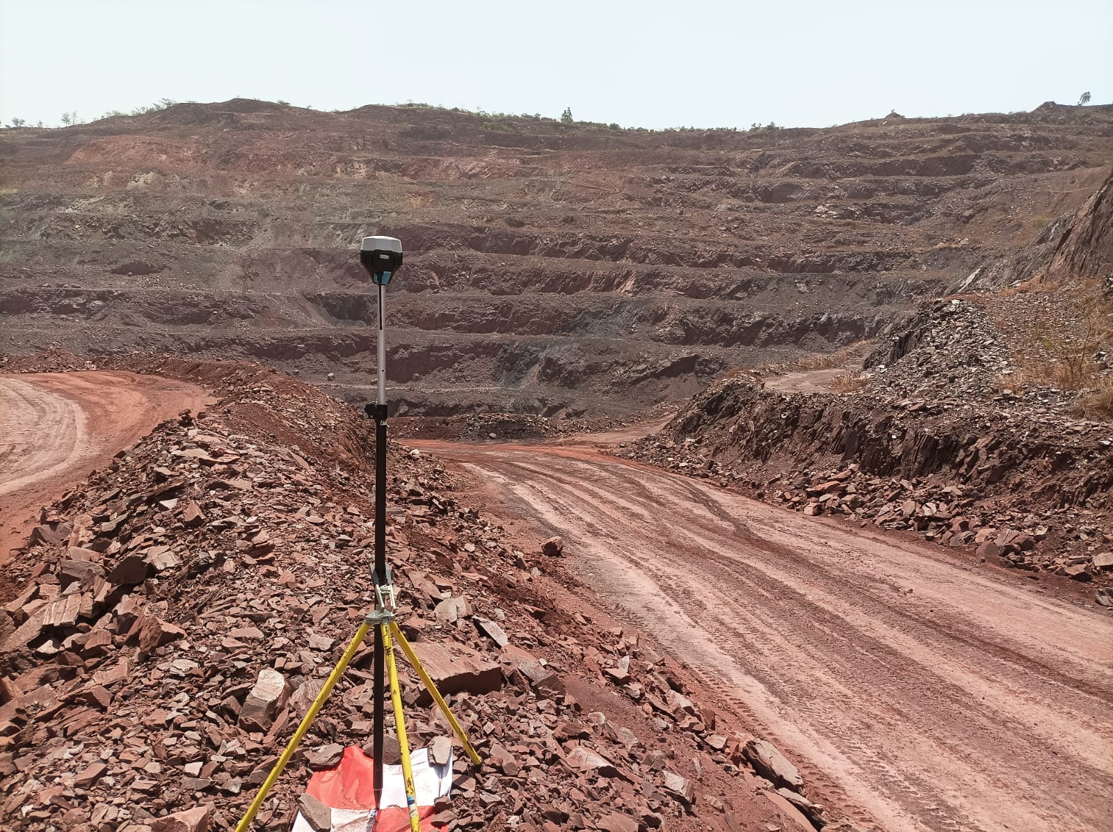

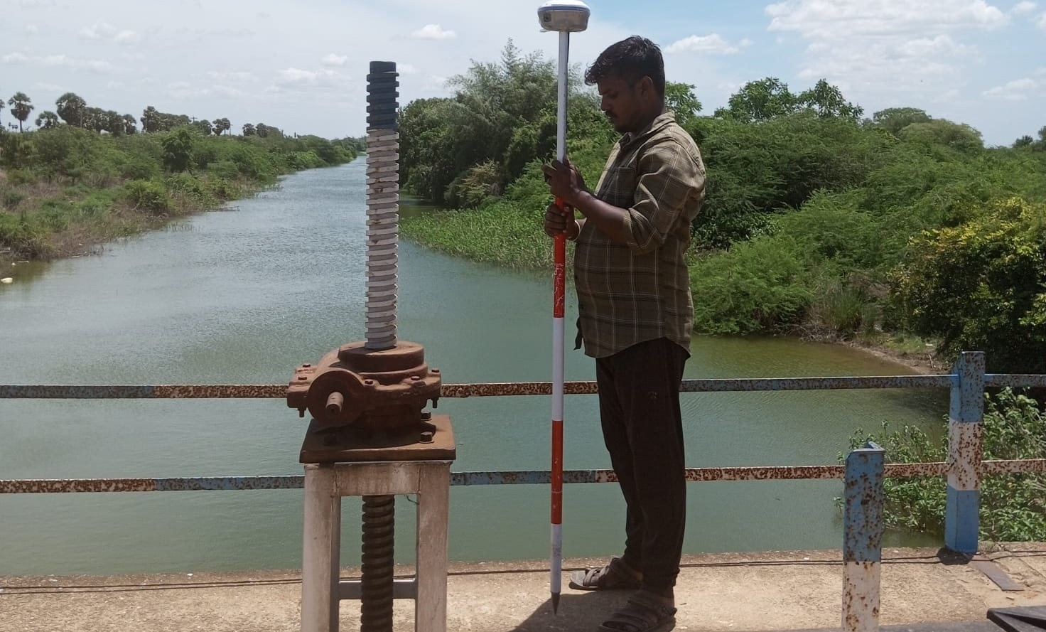
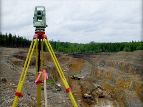
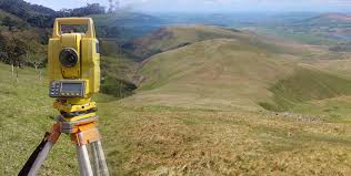
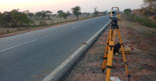
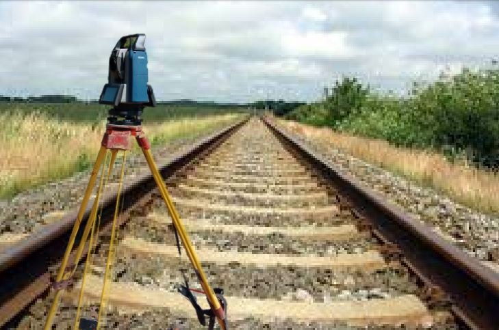
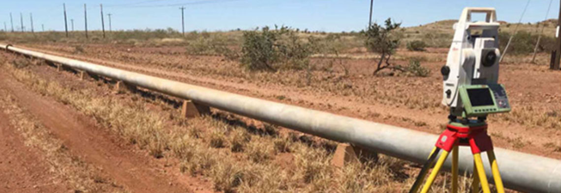
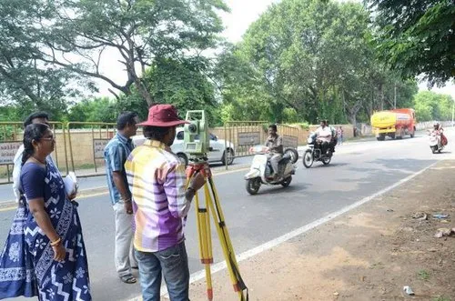
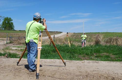
Topographic Survey
A Topographic Survey is a survey that gathers data about the elevation of points on a piece of land and presents them as contour lines on a plot. The purpose of a topographic survey is to collect detailed information about the natural and man-made features of the land, along with its elevations. Topographic maps are essential for showing elevations and grading features, aiding architects, engineers, and building contractors in planning and designing their projects.
SSIG Geospatial World Pvt. Ltd.'s professional land surveying team is highly skilled in the intricacies of topographic surveying. By leveraging the latest in surveying technology, SSIG’s land surveyors deliver accurate and consistently reliable topographic surveys, helping to streamline the construction process and save both time and money.


Back to top