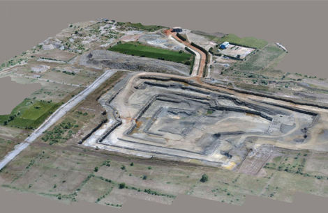
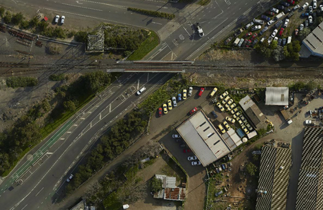
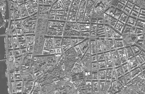
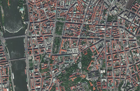
Ortho Services involve the creation of high-resolution, geospatially accurate images known as orthophotos, which are essential for various mapping and analysis applications. Orthophotos are derived from aerial or satellite imagery, corrected for distortions caused by camera tilt, terrain elevation, and lens effects, resulting in a map-accurate image with consistent scale. These services are widely used in urban planning, agriculture, forestry, disaster management, and infrastructure development. Ortho services enable precise measurement of distances, areas, and features directly from the imagery, providing a reliable foundation for Geographic Information Systems (GIS) and decision-making processes. With advancements in photogrammetry and remote sensing, ortho services deliver exceptional accuracy and efficiency for projects of any scale
Ortho Services
Ortho Services
The company has extensive experience in providing data that has applications in the following areas:
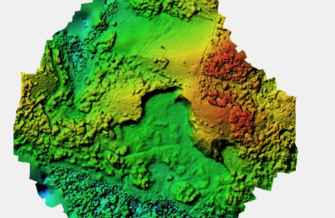
- GE-1 DTM.
- ALOS PRISM DTM.
- STER DTM.
- SRTM (Cheapest and most coarse option)
- Customer provided DTM
Back to top