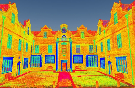
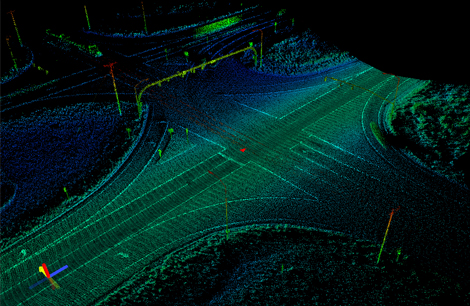
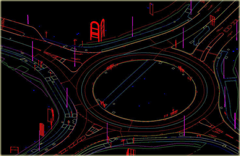
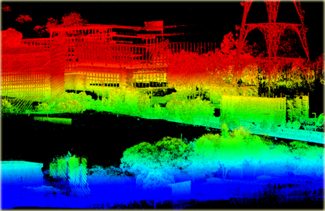
Mobile LiDAR is a highly versatile and efficient technology that combines LiDAR sensors with a moving platform, such as a vehicle, drone, or even handheld device, to capture detailed 3D data of environments. This method enables rapid and accurate mapping of large areas, including roadways, urban landscapes, and natural terrains. Equipped with GPS and inertial measurement units (IMUs), mobile LiDAR systems ensure precise georeferencing of data even in complex environments. It is widely used in applications such as infrastructure inspection, road asset management, utility mapping, and city modeling. The ability to collect high-resolution data in motion reduces time, labor, and costs, making it an ideal choice for projects requiring detailed spatial information over extensive or hard-to-reach areas.
Mobile Lidar
Mobile Lidar

The company has extensive experience in providing data that has applications in the following areas:
- 3-D City modeling.
- Power transmission lines.
- Flood mapping.
- Disaster management.
- Forestry.
- Land mapping.
- Agriculture and vegetation mapping.
- Engineering and Construction.
Back to top