At SSIG Geospatial World Pvt Ltd, we specialize in delivering cutting-edge consulting services across a wide spectrum of geospatial technologies and business solutions. Our consultancy approach integrates deep domain expertise with comprehensive business strategy and governance experience to drive transformation across industries. Whether you’re looking to adopt advanced technologies, optimize operations, manage organizational change, or drive digital transformation, we are your trusted partner at every stage. From defining your needs to designing innovative solutions and delivering tangible results, our team works alongside you, ensuring that your goals are achieved efficiently and effectively.
Consultancy Services
Consultancy Services
Photogrammetric Consultation
GIS Mapping & Database Consultation
Remote Sensing/Classification Consultation
LiDAR/Airborne Application Consultation
Expert Witness Services
Ortho Photo Consultation
UAV/Drone Consultation
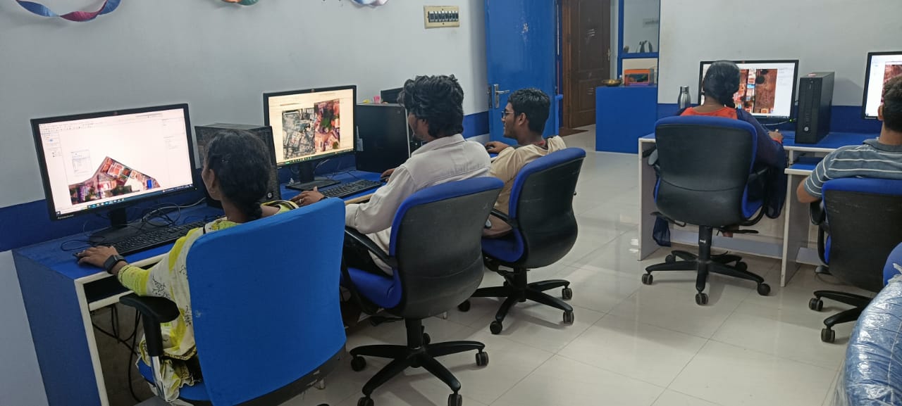
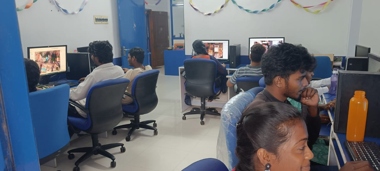
Leveraging the latest in photogrammetry technologies, we help clients collect, analyze, and interpret geospatial data to create accurate and detailed maps and models for various applications.
Our experts assist in the design, development, and implementation of GIS-based mapping systems and databases to improve data accessibility, decision-making, and operational efficiency.
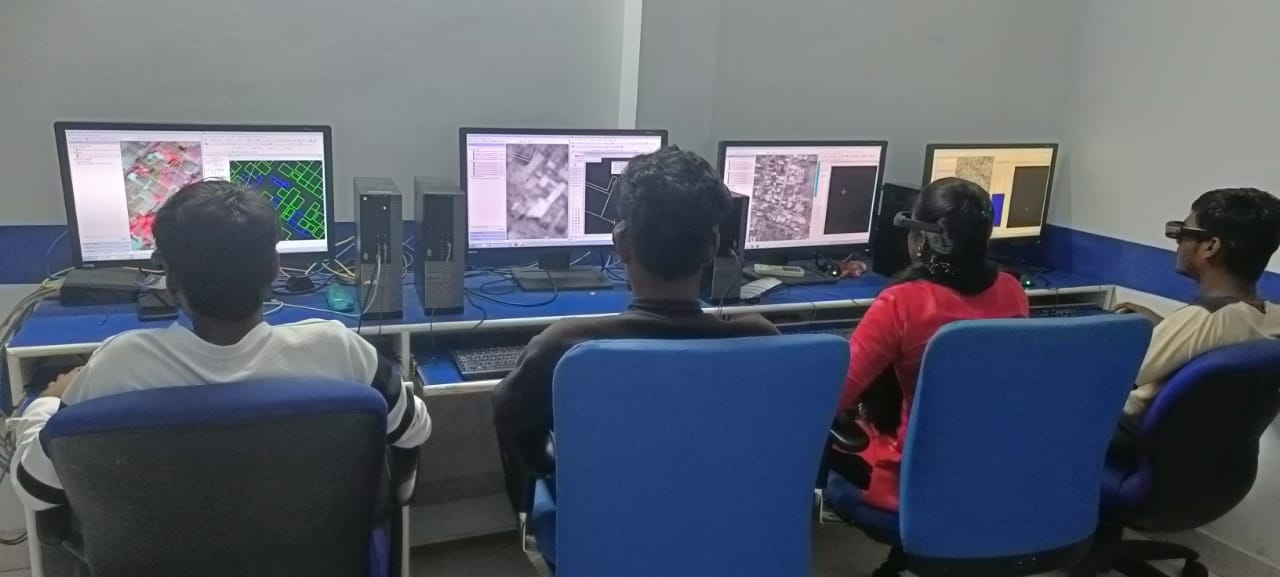
We offer consultation on remote sensing technologies, helping clients extract valuable insights from satellite and aerial imagery through data classification and analysis for environmental monitoring, urban planning, and resource management.
With deep expertise in LiDAR technologies, we provide consulting services to optimize the use of airborne LiDAR data for applications such as terrain modeling, flood risk mapping, and infrastructure analysis.
Our consultants offer expert testimony and professional insights for legal proceedings, helping clients with litigation related to geospatial data and technologies.
We provide specialized consultation on the generation and use of orthophotos, helping clients create geometrically corrected aerial imagery for applications in urban planning, construction, and environmental monitoring.
As drone technology becomes increasingly important in geospatial data collection, we assist organizations in implementing and utilizing UAVs (Unmanned Aerial Vehicles) for surveying, mapping, and monitoring purposes.
Back to top