Cadastral Survey
Cadastral Survey
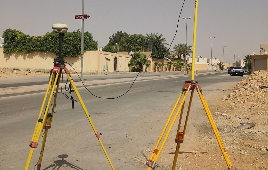
Cadastral Surveys are essential for defining property boundaries, whether for land or strata lots, and are crucial for the issuance of ownership titles. These surveys are conducted primarily to document the perimeters of a parcel of land by establishing or re-establishing corners, monuments, and boundary lines, all for the purpose of accurately describing the parcel. This includes locating fixed markers on the parcel and dividing the land as required.
The socio-economic context plays a central role in these surveys, as they provide valuable data that guides planners, NGOs, and governmental bodies in socio-economic development work. At SSIG Geospatial World Pvt. Ltd., we specialize in cadastral surveying, offering precise and reliable solutions that support effective land management and development planning.