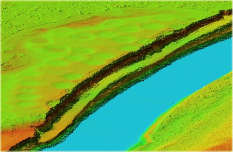
LiDAR (Light Detection and Ranging) is a cutting-edge remote sensing technology that uses laser pulses to measure distances to the Earth's surface or objects, creating highly detailed and accurate 3D models. A LiDAR system emits laser beams, which reflect off surfaces and return to the sensor, providing precise information about the shape, structure, and elevation of the target area. It is widely used in fields such as forestry, urban planning, archaeology, and autonomous vehicles, thanks to its ability to capture data in dense vegetation, complex environments, or areas with limited visibility. By delivering high-resolution maps and models, LiDAR enhances decision-making in applications ranging from environmental monitoring to infrastructure development and disaster management.
Light Detection and Ranging
Light Detection and Ranging
Digital Orthophoto and various topographic mapping services including:
- Filtering of point clouds.
- Contour mapping.
- Fusion with digital Orthophoto or hyperspectral imagery.
- 3D modeling and volumetric calculation.
- Break line collection.
- Flood plain mapping.
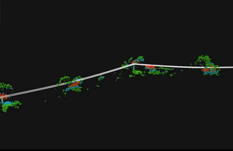
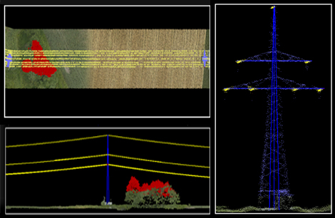
- Processing of transmission lines and other corridor surveys.
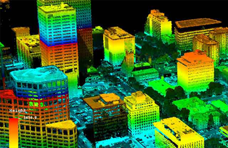
- Building extraction and reconstruction.
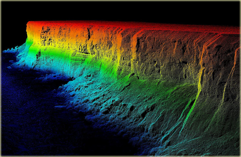
- Bare earth and non ground classification.
Back to top